East Side Fire Control Positions
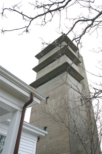
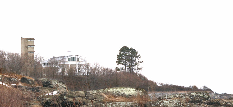
Originally there were two fire control positions on the east side of the Nahant peninsula, about half a mile NNW of East Point. The southernmost one of these, a 6-stort fire control tower known as Location 131, SIte 4A, survives today and is privately owned. It is just west of the NW corner of a residence off Nahant Rd. and about 300 ft. east of Rosemary Rd. A geodetic marker (MY4763) was set on the roof to pinpoint the center of the observation instruments for this tower, while a traverse disk (MY0049) is emplanted in the steps leading up to the tower's front door. The northernmost fire control structure, a cottage, has been destroyed; it was known as Location 131, Site 5A.
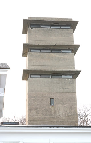
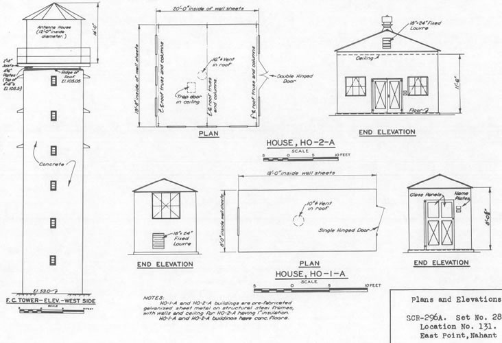
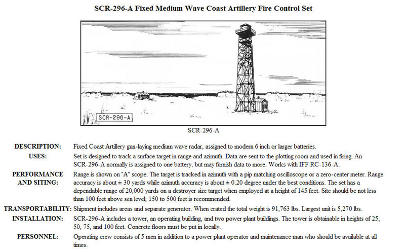
The surviving position, 131-4A, was the larger of the two, a tower that had an SCR-296A radar antenna mounted on its roof. The radar was designed to be part of the fire control system for the 12" guns of Battery Gardner at Ft. Ruckman.
The antenna was enclosed in an antenna house that looked like a 14 ft. tall water tower tank a conical cover over the tank and was set atop a 17 ft. square wooden platform on the roof of the fire control tower. The radar installation was completed on September 8, 1943. [Many radars of this type were placed atop freestanding metal towers (see illustration in gallery at left).]
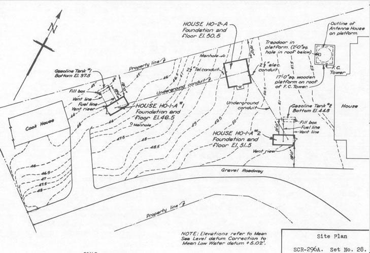
Two generator sets, each producing 25 KVA, were located in standard outbuildings on the site (the HO-1-A buildings on the plan). The HO-2-A house contained the radar equipment, set up on an 8-foot long table and manned by a crew of five. Personnel manning the tower used quarters in the adjacent building, whose steam boiler also heated the tower. [According to the owner, the Corps of Engineers, seeking to remediate a possible environmental hazard, came by in 2009 to dig up the fuel tanks it had buried 66 years ago.]
The site was 53 ft. above sea level, to which was added the 52.5 ft. height of the tower. Above this was the 14 ft. tall antenna house, made to look like a water tower. This probably put the focus of the antenna about 112 ft. above sea level. This radar was narrowly focused. Its beam was only 9 degrees wide in azimuth and 11 degrees high in elevation, and its elevation could not be adjusted during operation. This meant that the SCR-296A was useful only as a target tracking radar. It received its target assignments from the harbor defense control station and then tracked these for its assigned gun battery.
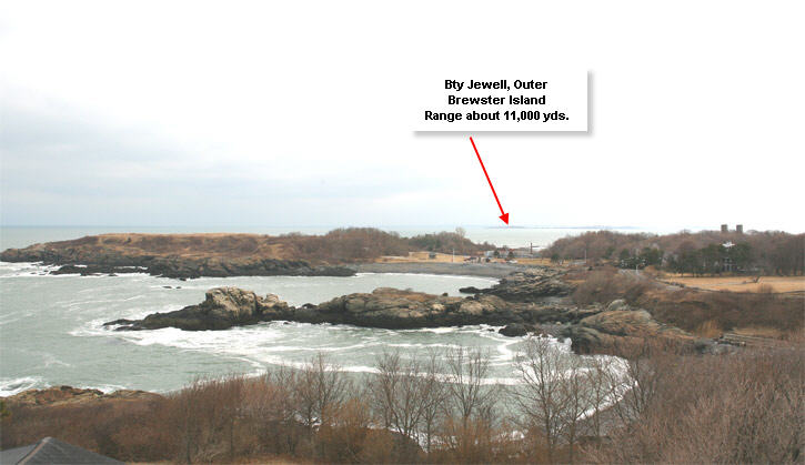
The third floor of the tower housed the command post for the G-4 Command, which included the five anti-motor torpedo boat 90 mm batteries and the four older 3-inch gun batteries.. The fourth level had a Depression Position Finder (DPF) for the G-4 Command. On the fifth floor was a spotting scope--position 5 for Battery 11 (B5/11) , Battery Jewell on Outer Brewster Island. The sixth floor housed a base end station (B 5/5) DPF for the big 16" guns of Battery Long in Hull. The optical center for this instrument was 102.0 ft. above sea level. Corresponding heights for the fifth and fourth floors were 94.0 ft. and 86.0 ft.
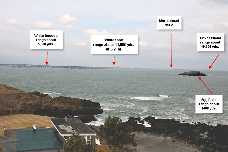
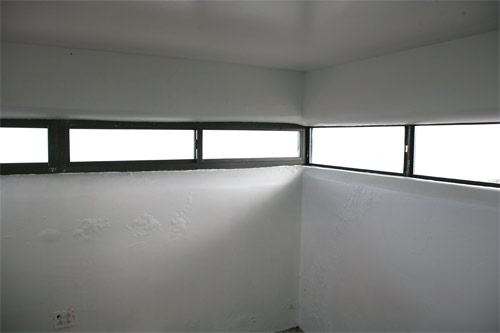
The tower was visited by the author in February, 2010, and the owner was kind enough to let me inside. The first two Inside photos at left, taken from the top floor observation post, illustrate its vantage point. One looks NNE towards Marblehead, and the other looks SSE across East Point towards Outer Brewster Island and Battery Jewell. These have been marked with estimated ranges to various points.
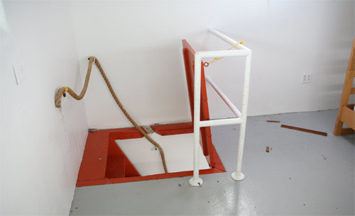
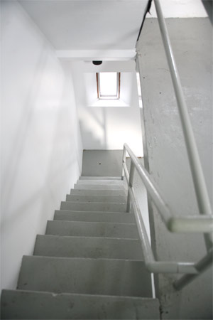
The inside of the tower has been renovated for recreational space, childrens' sleeping quarters and hobby areas. Baseboard heat has been added, as well as a bathroom on the 3rd floor. The tower has been completely re-wired and is fully lit.