Geodesy and Coast Defense
Geodesy is the science of representing the shape of the earth and defining the positions of points on its surface through surveying. Coast defense involves siting batteries of weapons in known positions, plotting the locations of targets so that these weapons can be fired at them with accuracy, and then observing and correcting fires for best effect in hitting these targets. Thus geodesy and surveying are essential parts of an effective coast defense system.
In 1807, President Thomas Jefferson created the Survey of the Coast, whose purpose was to map the U.S. coastline and create nautical charts of our coastal waters. In 1878, this agency became the U.S. Coast and Geodetic Survey (USCGS), which lasted until 1970, when its duties were assumed by the National Geodetic Survey (NGS), a part of the National Oceanic and Atmospheric Administration (NOAA).
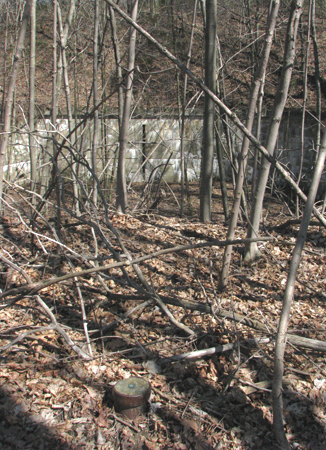
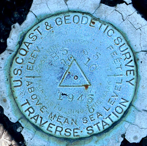
Beginning in the late 1800s and continuing at an accelerating pace into the 20th Century, the USCGS carried out surveys that located a network of points throughout the United States. These points were marked by the brass disks familiar to many [see Slides 1 and 2 in the Gallery at left] and in other ways. These marks marks were then used in measuring the distances between known points through a process known as triangulation. This enabled accurate mapmaking, and was a crucial underpinning of coast artillery fire control.
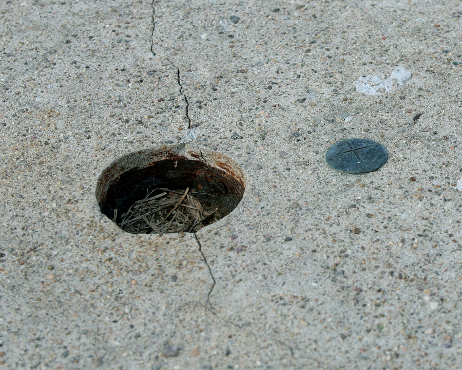
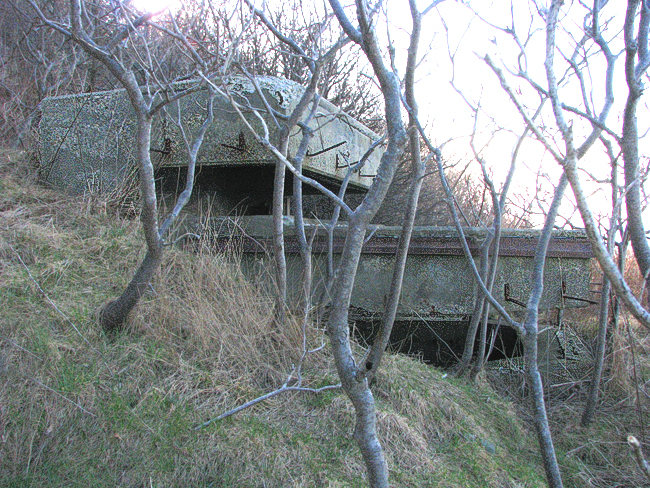
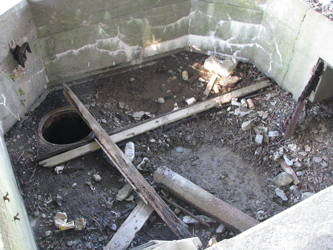
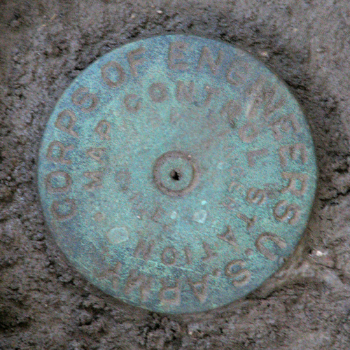
When coast defense forts and batteries began to be constructed in earnest (1895-1915), this network of geodetic markers was not as widespread as it is today, so a number of ad hoc surveys had to be carried out to site coast artillery guns and observation stations. Some of these surveys weredone by Battery personnel in the Coast Artillery Corps itself. Others were assigned to the USCGS or the U.S. Engineers ("USE", as the Army Corps of Engineers was often called). These ad hoc surveys often did not leave permanent markers, but instead referenced the "pintle centers" (balance or mounting points) of individual guns or observation instruments (e.g., spotting scopes) as their marks. Slides 3 through 5 at left show types of ad hoc survey marks used to aim mortars at Fort Andrews and 6-inch guns at Fort Revere.
As federal and state survey work expanded in the 1930s, the network of geodetic points grew, and many parts of the coast defense system (i.e., forts, gun batteries, and observation towers) received their own permanent geodetic markers. As pre-war tensions increased from 1938 on, the work of locating new coast defenses (particularly the new fire control towers needed to direct the longer-range guns) gave rise to specific surveys of these defenses. [NOTE: It appears that almost all the coast defense-related survey marks set by the USCGS or the USE in MA, NH, and ME during this period were handled by teams under the control of one man, Lt. (later Capt.) Percy (Peter) L. Bernstein, USCGS, USE. Known by the initials "PLB" on geodetic Datasheets and by his careful field work, Bernstein died in 1974. His brief biography can be found here, but his legacy persists today, inscribed in brass throughout the region.]
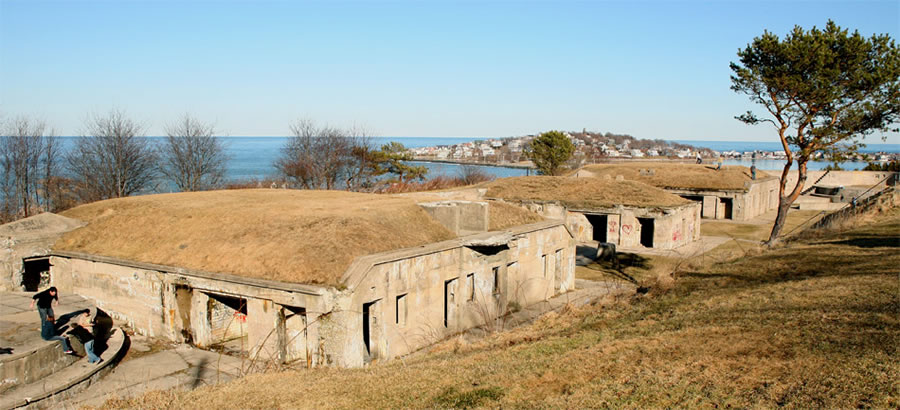
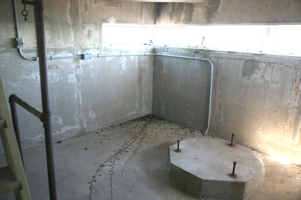
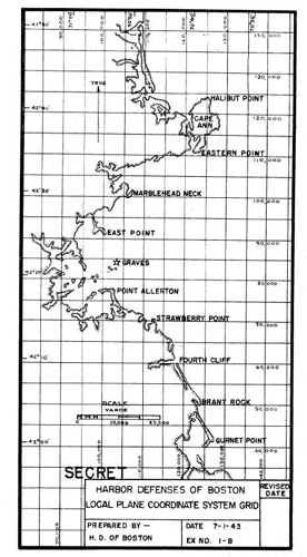
A cursory review of other U.S. harbors indicates that Boston coast defenses possess what is probably the most extensive network of geodetic marks of any harbor the United States. This is a big help to any student of coast defense in Boston, since the latitude and longitude of its assets (even those which have been destroyed) can more often than not be pinpointed precisely. For example, here is a modern Datasheet from the National Geodetic Survey that describes a geodetic mark (from 1934) that was set in the roof of a base end station associated with Battery Winthrop, the 12-inch guns at Fort Heath in Winthrop, MA.. This station was one of three in identical brick fire control structures that sat side-by-side in echelon at Fort Heath in Winthrop (see map in Wikipedia article linked to above). All three structures (and the battery itself) were later leveled during the redevelopment of the site (for a radar station) and the area was later re-leveled to create a public park.
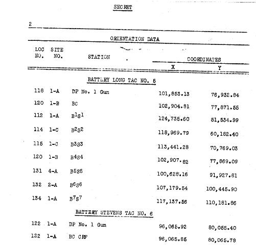
Beginning in the 1920s, the U.S. Army began to identify fire control structures and other assets in each harbor's defenses by developing harbor-specific X-Y coordinate grid systems. The position of an asset was specified in terms of the number of yards north and east of a chosen origin that it lay. In many Coast Artillery Corps (and Army Engineers) reports from the WW2 era, the positions of fire control structures and radars, and some rangefinder stations and guns were identified by these X-Y coordinates.